


| Updated: @ 02/08/2026 21:35 - next update at 01:00 | |||||||||||||||||||||||||||||||||||||||||
| Summary / Temperature | Wind | Rain | WeatherCam | ||||||||||||||||||||||||||||||||||||||
|
|
|
|
||||||||||||||||||||||||||||||||||||||
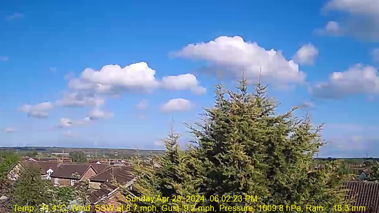
| Humidity & Barometer | Almanac | WebCam | |||||||||||||||||||||||||||||||||||||||
|
|
|
|||||||||||||||||||||||||||||||||||||||
| UV Index Forecast | Solar Radiation | ||||||||||||||||||||||||||||||||||||||||
|
|
||||||||||||||||||||||||||||||||||||||||


| WXSIM Weather Forecast - Outlook: Tonight & Monday | ||||||
|
||||||

| WXSIM Short Term Weather Forecast |
|
Monday night  Partly Cloudy Low: 17° |
Tuesday Mostly Cloudy High: 30° |
Tuesday night Partly Cloudy Low: 18° |
Wednesday Mostly Cloudy High: 27° |
Wednesday night  Fog late Low: 14° |
Thursday Fog a.m. High: 26° |
Thursday night Fog late Low: 13° |
| WXSIM 5 Day Meteogram for Chelmsford |
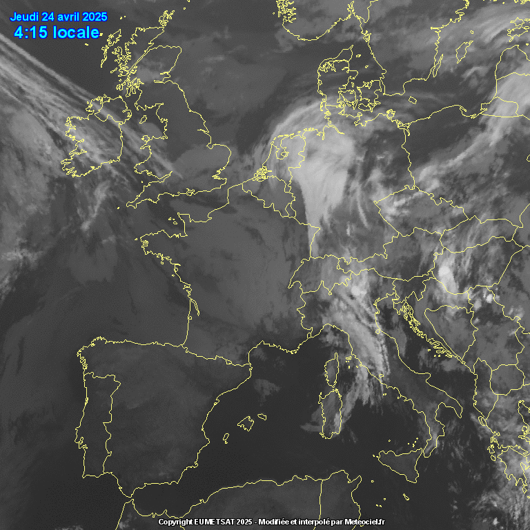
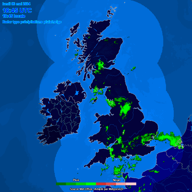
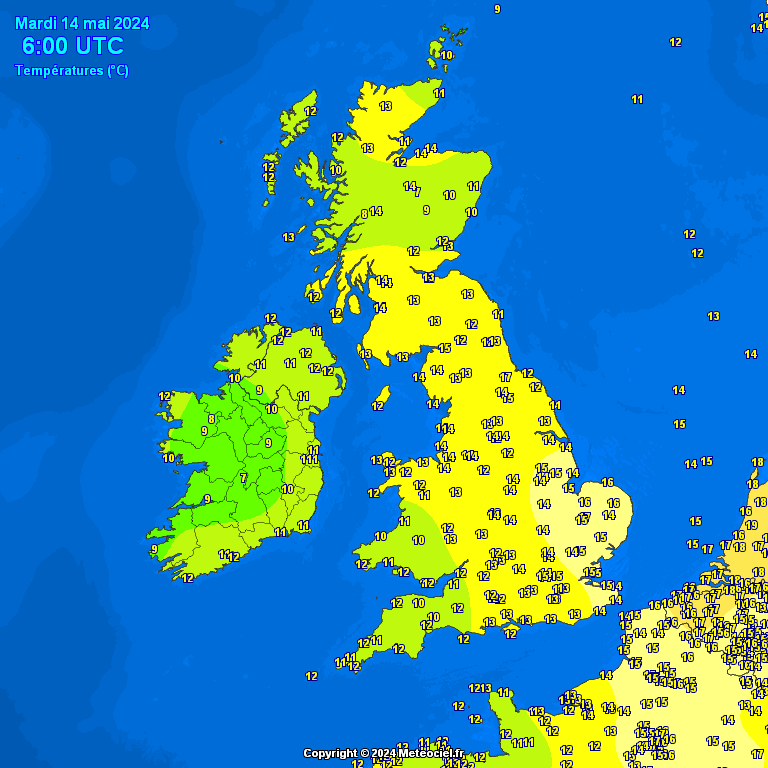
| UK Cloud Satellite / UK Rain Radar / UK Temperatures |
|
| Countdown to Autumn | ||
|
